|
|
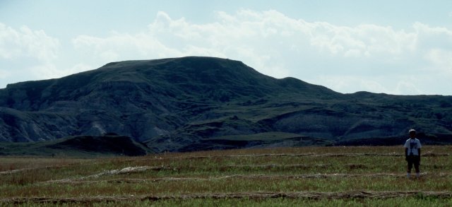
White Butte as viewed from the East forms the backdrop for the Buzalsky
farm. They are quite happy to allow highpointers access through their
fields, as long as you show the normal courtesy of asking permission.
The route to the summit heads a bit to the right of this shot, then
picks up the north ridge and follows it south to the top.
|

|
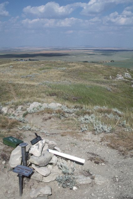
From the top of White Butte, you can look east to the Buzalsky farm
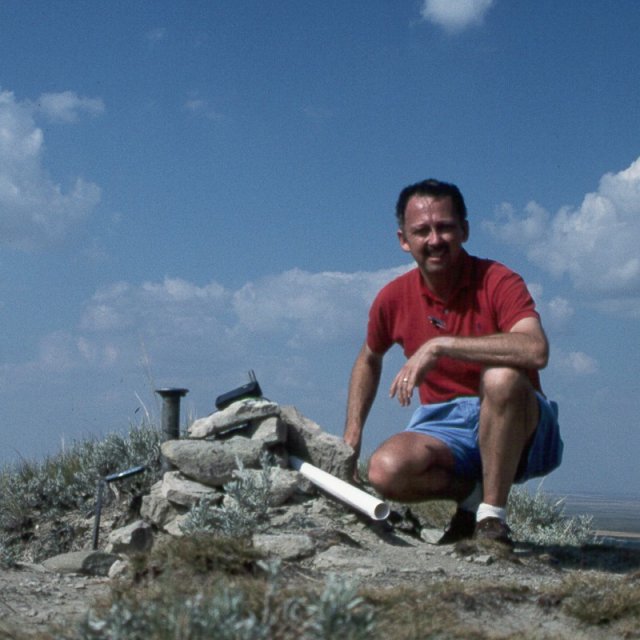
and a panoramic view of North Dakota. The summit is marked with a cairn,
a USGS survey marker, and a memorial to the elder Buzalsky. The green
metal box behind the cairn contains the summit log.
|

|
|
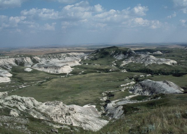
Looking to the south from the summit, the terrain is quite a bit more
rugged, and the light mudstone shows why the highpoint is named White
Butte. This vista is more reminiscent of the Badlands of South Dakota
than the otherwise flat plains of North Dakota.
|

|


